Geotechnical Survey

Geotechnical Survey

Explora Prima provides information on Soil Parameters upon which geotechnical design structures

WHY CHOOSE GEOTECHNICAL IN EXPLORA PRIMA ?

Explora Prima deliver a full, interactive 3D as-built/as-found from which accurate geometries and range measurements can be sourced.The interactive 3D as-built/as-found contain millions of measurable points, creating a visual model of the target structures and surrounding area.The fully interactive 3D model enables immediate visual assessment of the data for quality assurance.
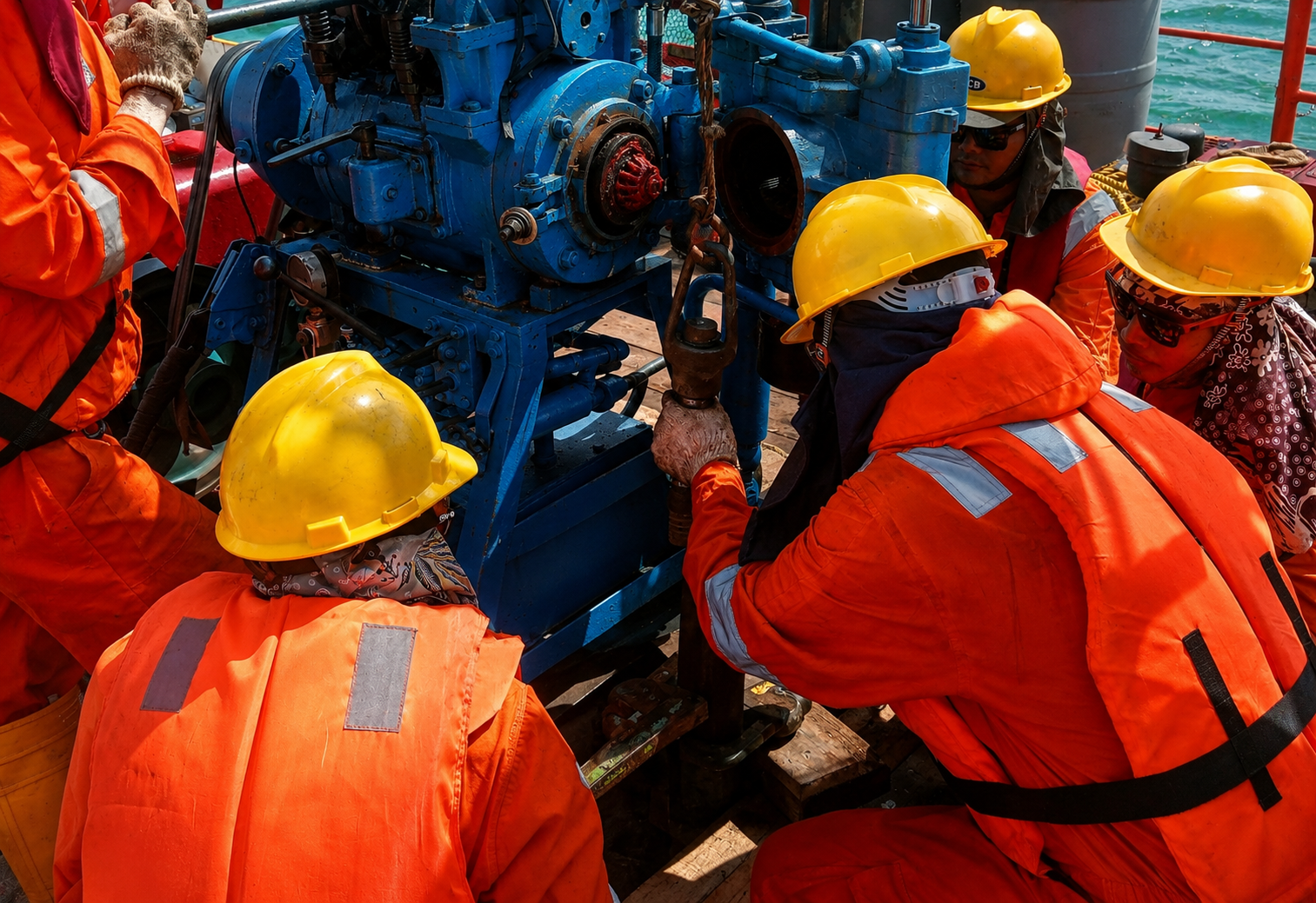
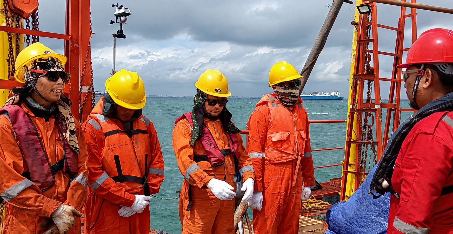
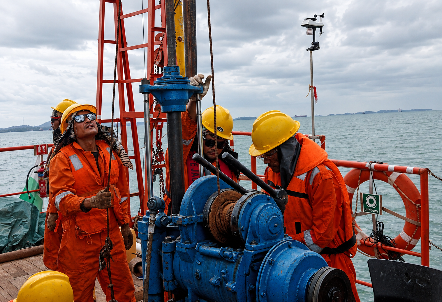
  • Hydrogeological Survey

    Investigation of underground formations to understand the hydrologic cycle. know groundwater quality, and identify the nature, number and type of aquifers

  • Geology Survey

    We can analyze the systematic investigation of the geology beneath a given piece of ground for the purpose of creating a geological map or model

  • Geoelectrical Survey

    Like Seismic velocities, magnetic properties and density of rocks, the underground geoelectric resistivity may change considerably in and after th impact createring process


SOIL INVESTIGATION

  • Deep Well Drilling and Standard Penetration Test

    A standard penetration test is an in-situ dynamic penetration test designed to provide information on the properties of soil, while also collecting a disturbed soil sample for grain-size analysis and soil classification

  • Cone Penetration Test

    A cone penetration test is performed using an instrumeted probe with a conical tip, pushed into th soil hydraulically a a constant rate. Cone penetration test determine foundation types and stability of structure

  • Hand Boring

    With Hand Borring methods we determine Soil type and Soil Structure at shallow depths (<10 m depths)