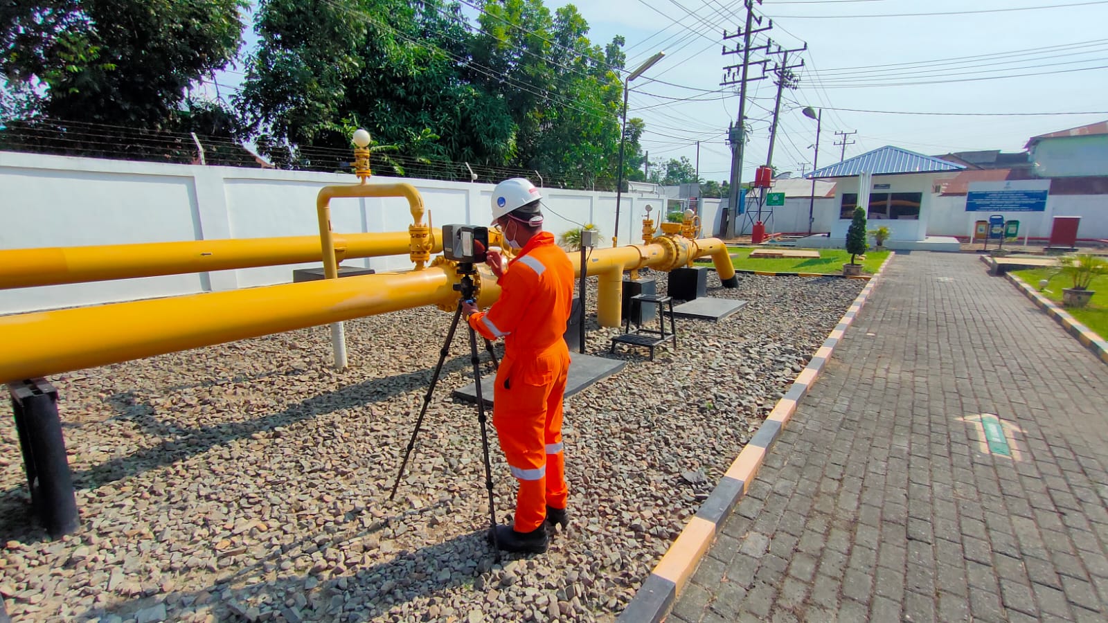
3D LASER SCANNING SERVICES INCLUDE : As-Built, Volumetric Calculation, Marine Industries ( BWTS, Propolsion, Etc ), Clash check & Modification, Corrosion Mapping, Engineering Analysis ( FEA, Tank Setlement ), 3D Modelling ( Intelligent Model )
Learn More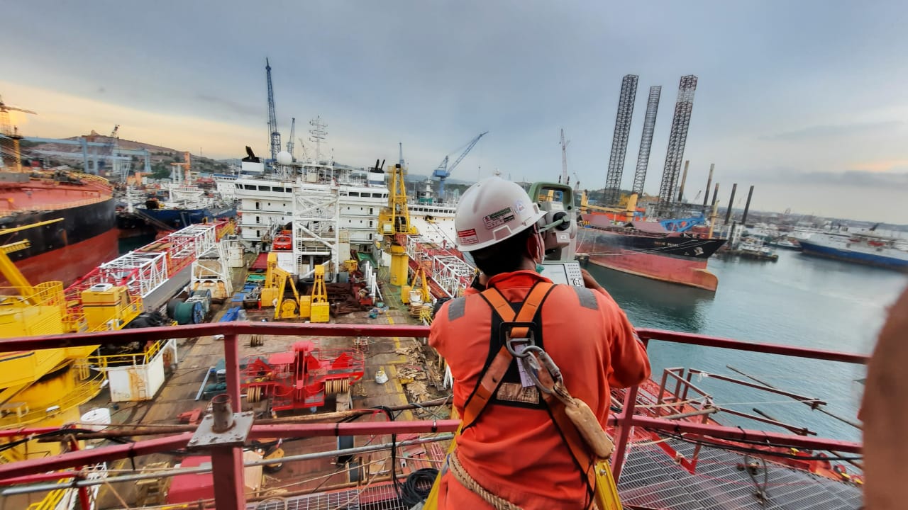
DIMENSIONAL SURVEY SERVICES INCLUDE : Spool metrology, As-built survey (platform/jacket), Dimensional Control, During Fabrication, Ship dimensional surveying, Tanks & vessel surveying, Subsea Offset Survey, Vessel Offset, Survey & Verification
Learn More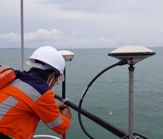
OFFSHORE SURVEY SERVICES INCLUDE : Installation survey support, Positioning support, Diving and ROV survey support, Salvage survey support, High resolution seabed mapping, Subsea assets 3D mapping, Pipeline inspection, Cable and Pipeline Route survey
Learn More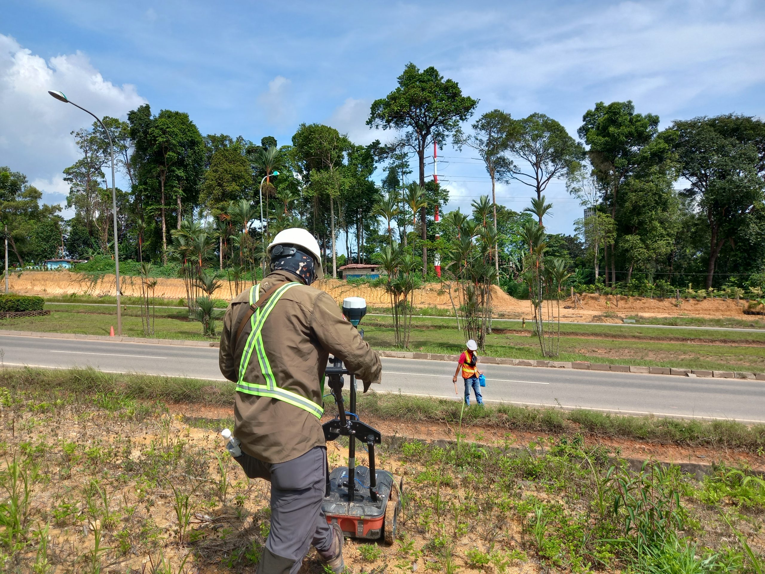
LAND SURVEY SERVICES INCLUDE : Topographic Survey, Cut and fill surveys As-built surveys, Geodetic survey/ground controls, Gyro Calibrations, Deformation monitorings, Pipeline surveys, Aerial Terrain Mapping, Mining surveys
Learn More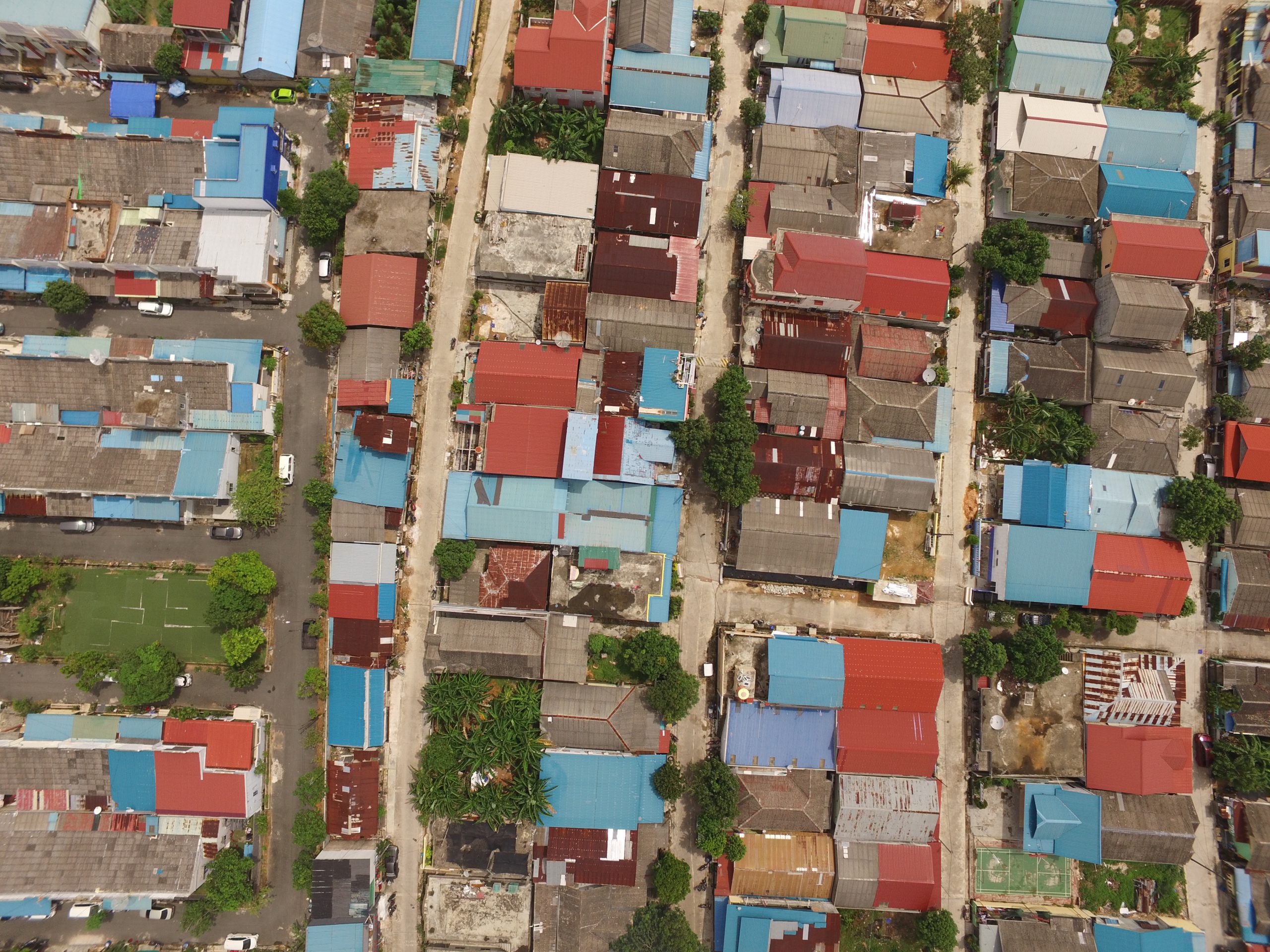
Explore precision geospatial data with PT Explora Prima’s leading UAV & Drone Lidar Mapping services. WHY CHOOSE UAV IN EXPLORA PRIMA ? On Demand – Flexible deployment Less investment compared with full size aircraft Fly below cloud, clearer image resolution Less operating cost compared to traditional method REVOLUTIONARY MAPPING A fully automated aerial scan collects […]
Learn More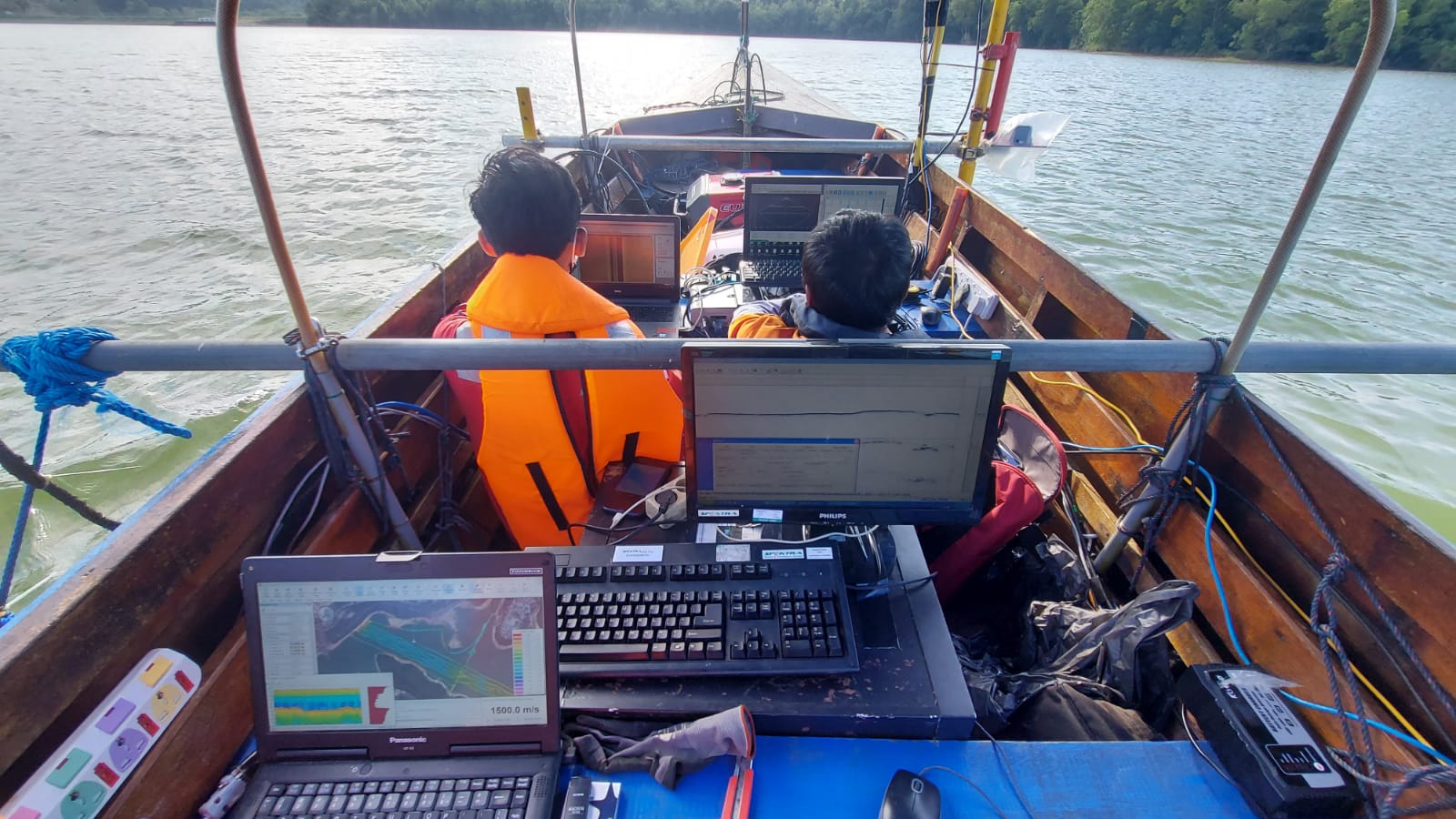
BATHYMETRIC SURVEY SERVICES INCLUDE : Bathymetric Survey Geophisical Survey USV ( Unmanned Surface Vehicle )
Learn More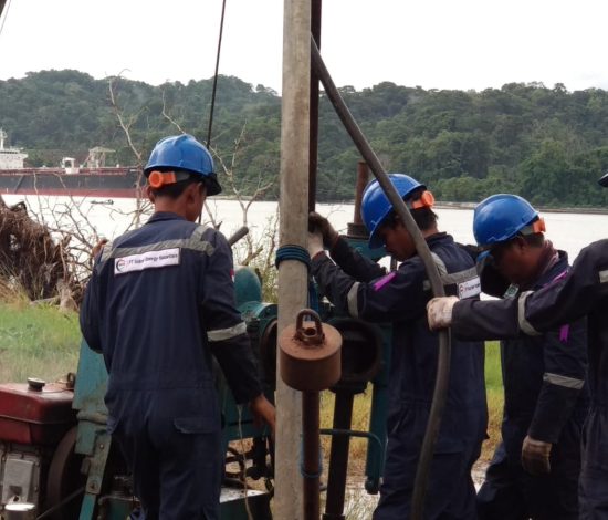
Explora Prima provides information on Soil Parameters upon which geotechnical design structures WHY CHOOSE GEOTECHNICAL IN EXPLORA PRIMA ? Explora Prima deliver a full, interactive 3D as-built/as-found from which accurate geometries and range measurements can be sourced.The interactive 3D as-built/as-found contain millions of measurable points, creating a visual model of the target structures and surrounding […]
Learn More