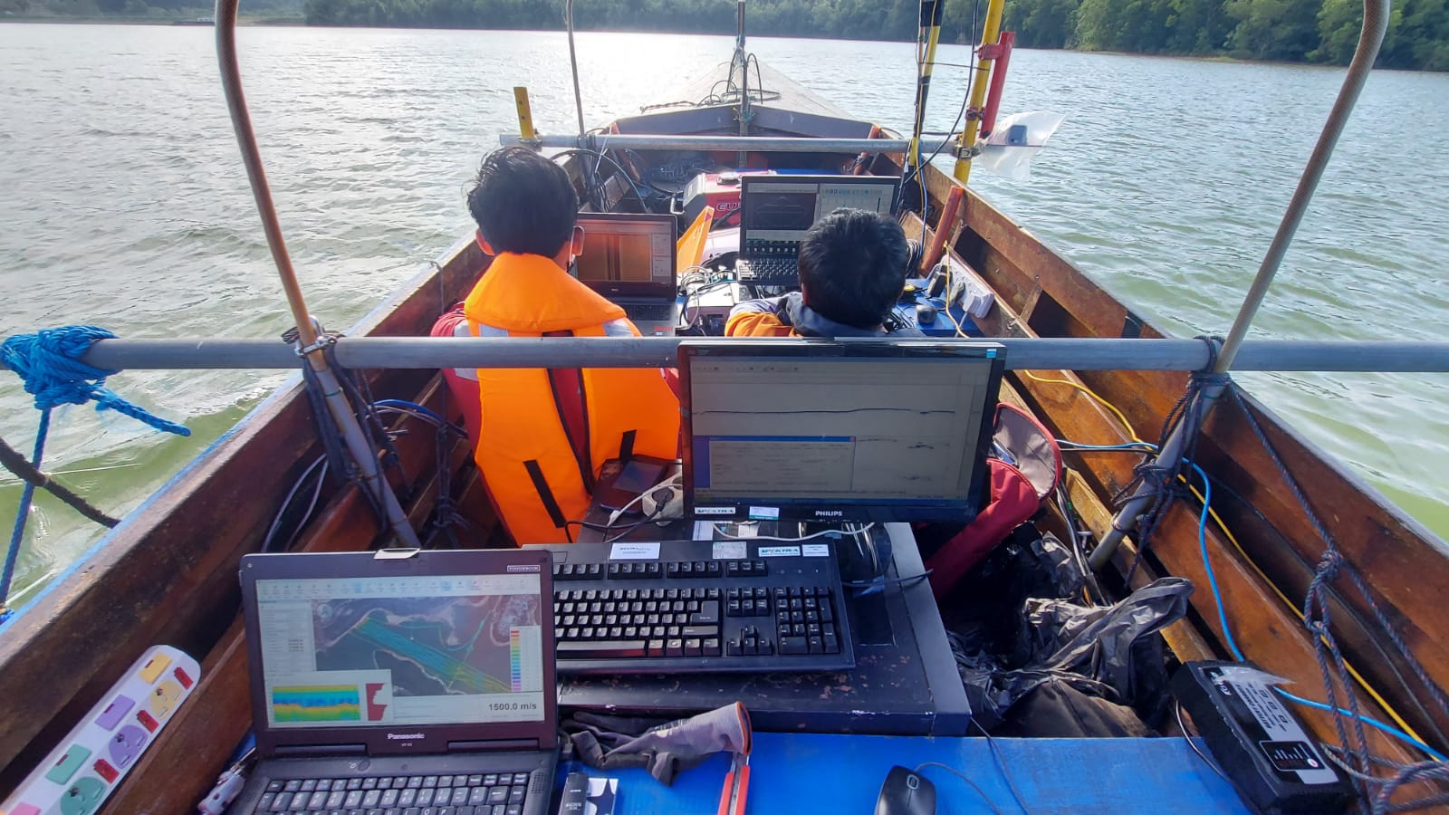
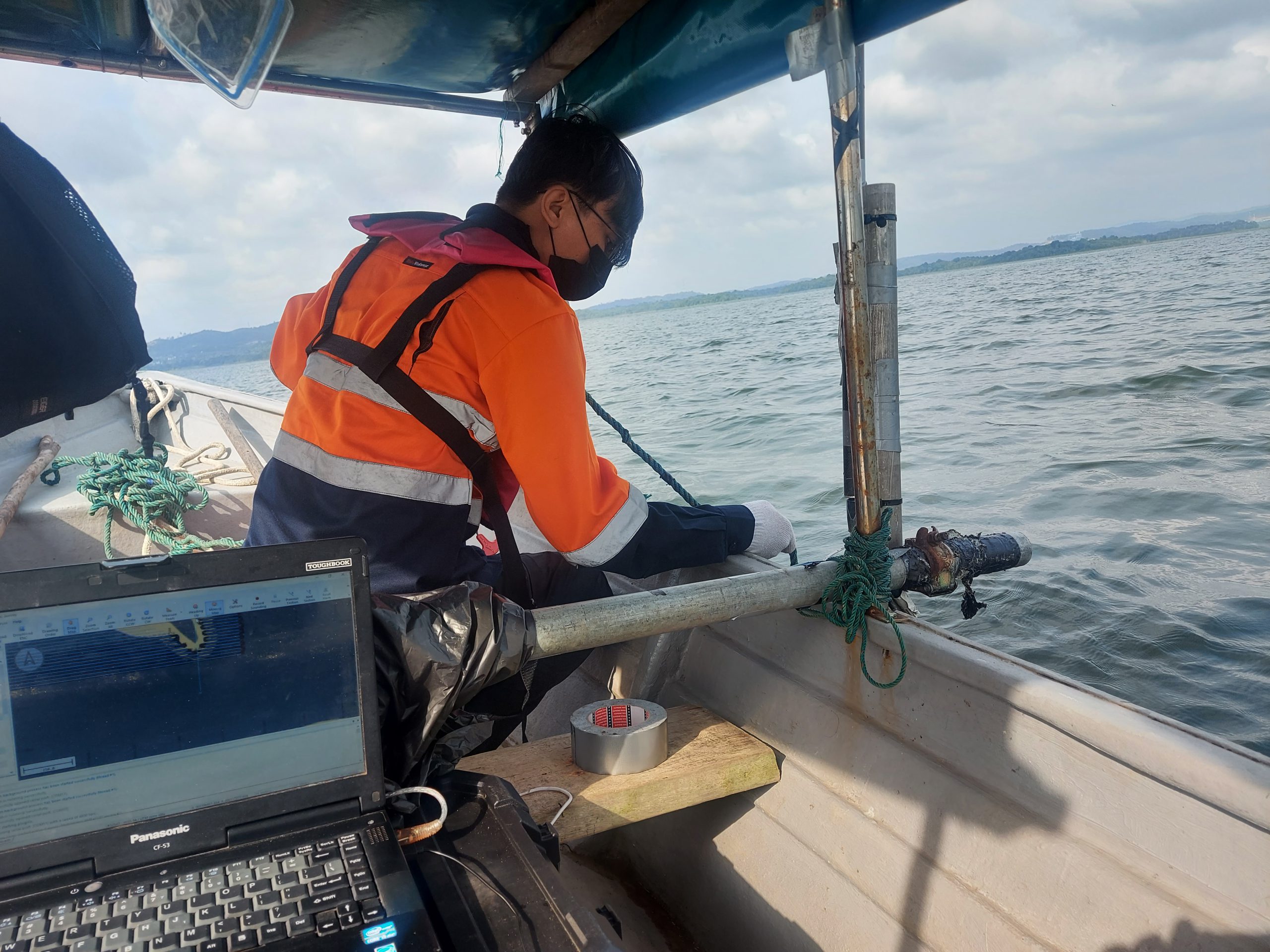
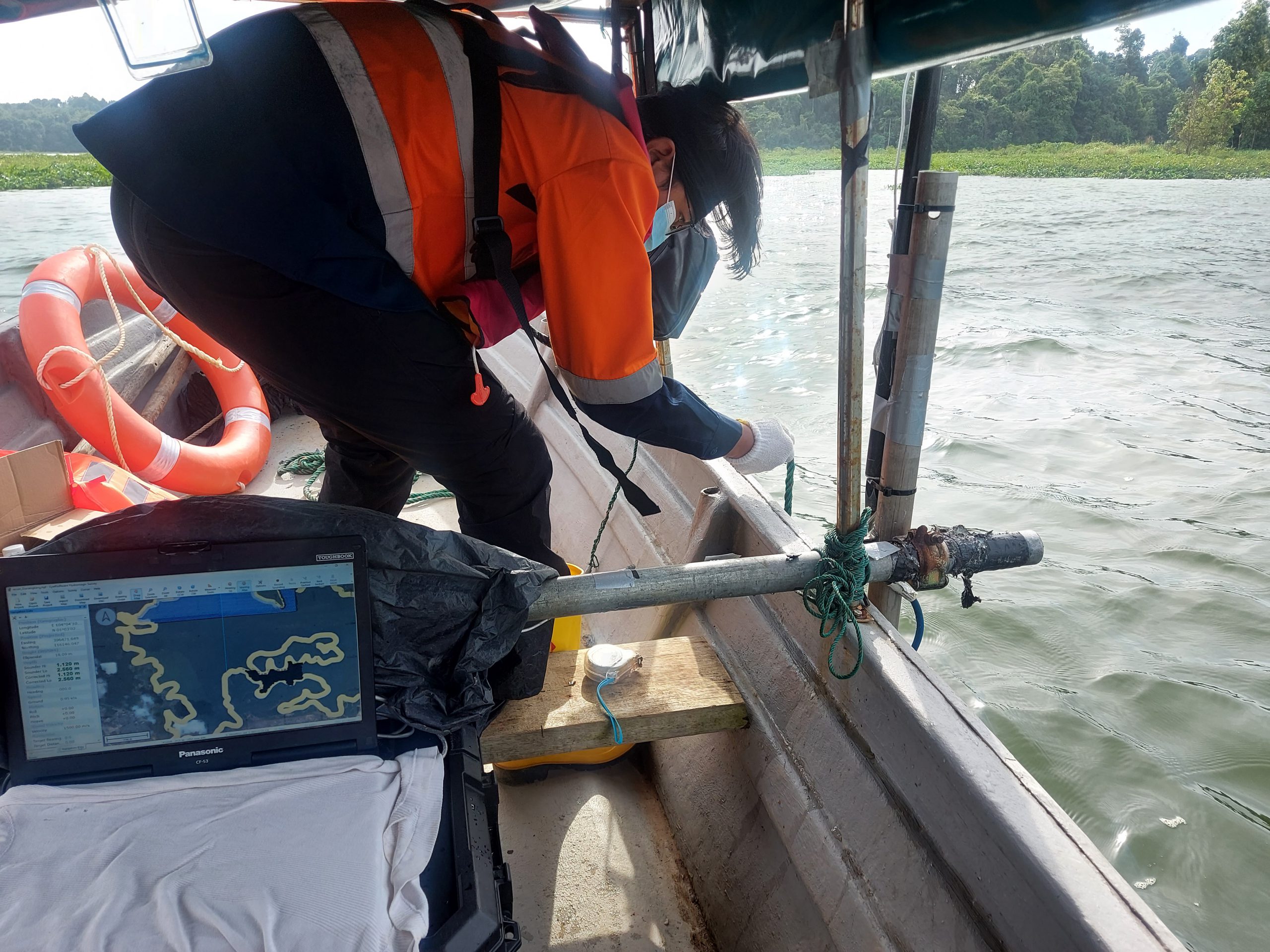
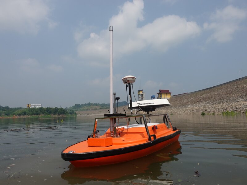
Bathymetric survey is the survey that measures the depth of the water and determines the shape of the seabed
WHAT DO WE PROVIDE ?
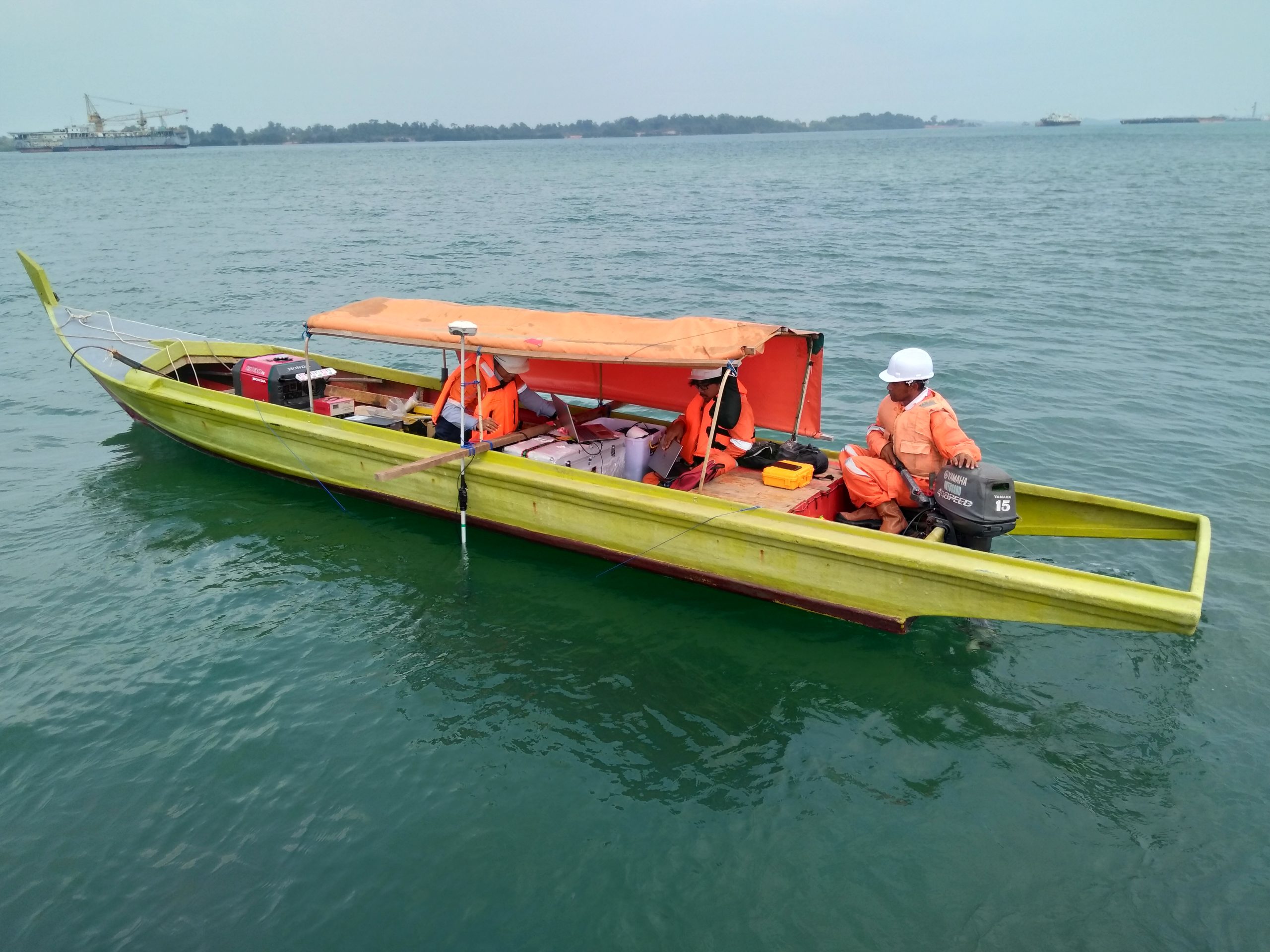
As a specialist survey company Explora Prima are also doing work (Sounding/Data acquisition, tidal observation, data processing and charting) related to hydrography survey
SOME PROPOSE OF DOING THIS SURVEY :
Offshore engineering and the shipping industry have continued to expand
The determination of shore line, soundings (Measurement of depth below the water level) characteristics of bottoms, areas subjected to Suring and silting, depth available for navigation and velocity as well as characteristics of flow of water