PT Explora Prima | Survey Specialist


In 2020, The voyage of the Iranian cargo vessel from Port Klang Malaysia to Shanghai China was supposed to be a routine trip, but it turned into an unexpected nightmare. As the vessel sailed into Indonesian waters, disaster struck. Suddenly, the vessel ran aground, leaving the crew stranded and the cargo adrift. The unexpected turn of events was nothing short of dramatic. The once peaceful journey had turned into a high-stakes situation, with the crew fighting to save the vessel and its precious cargo.
Following the incident, a salvage operation was initiated, in which Explora Prima participated as a surveyor. Prior to conducting the evacuation, a thorough assessment was conducted, with Explora Prima enlisting the expertise of adept marine surveyors to offer Positioning Survey Services. These professionals were tasked with accurately determining the precise location of the vessel that had been stranded, while also monitoring its movement and position during the salvage operation.
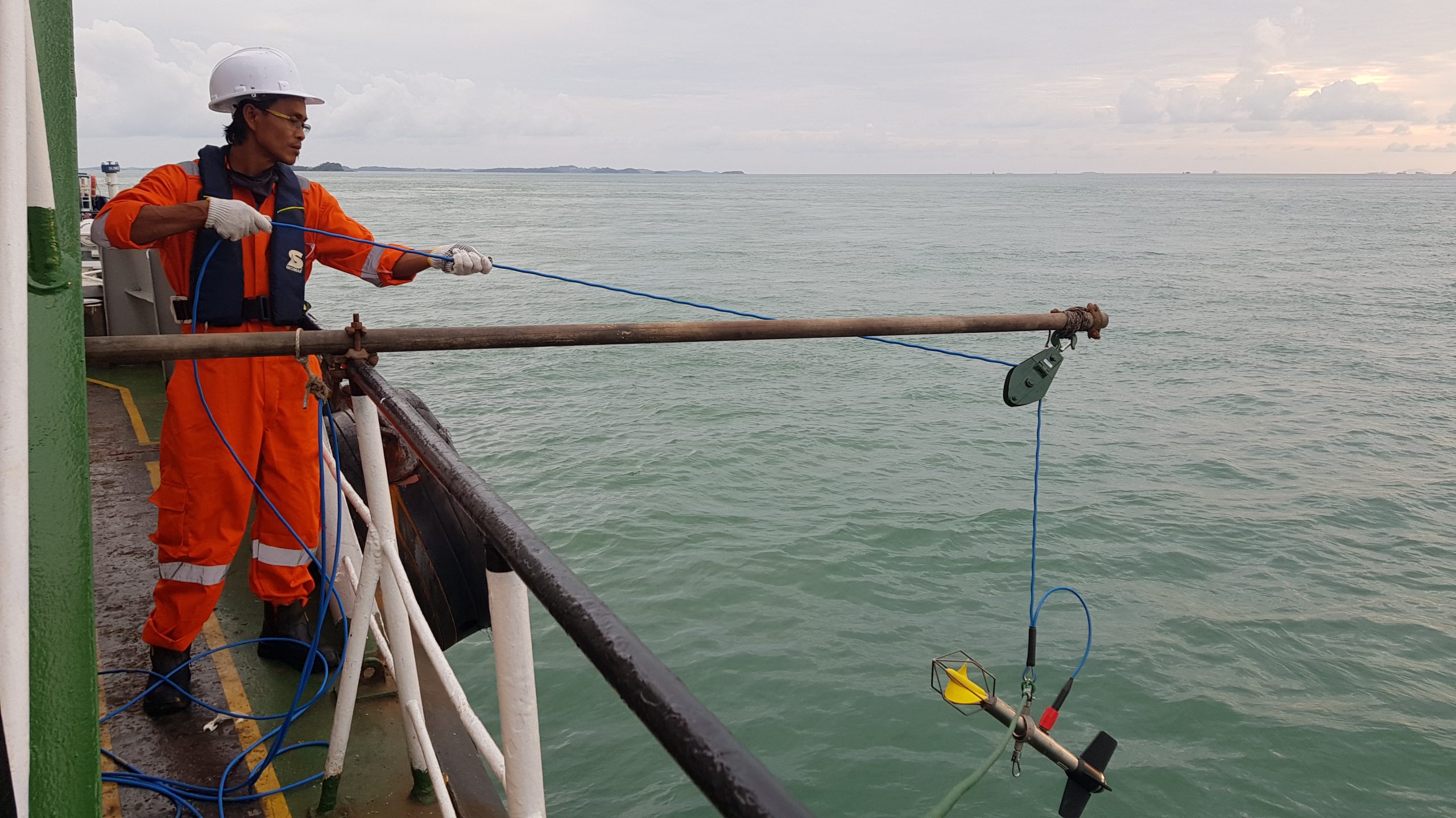
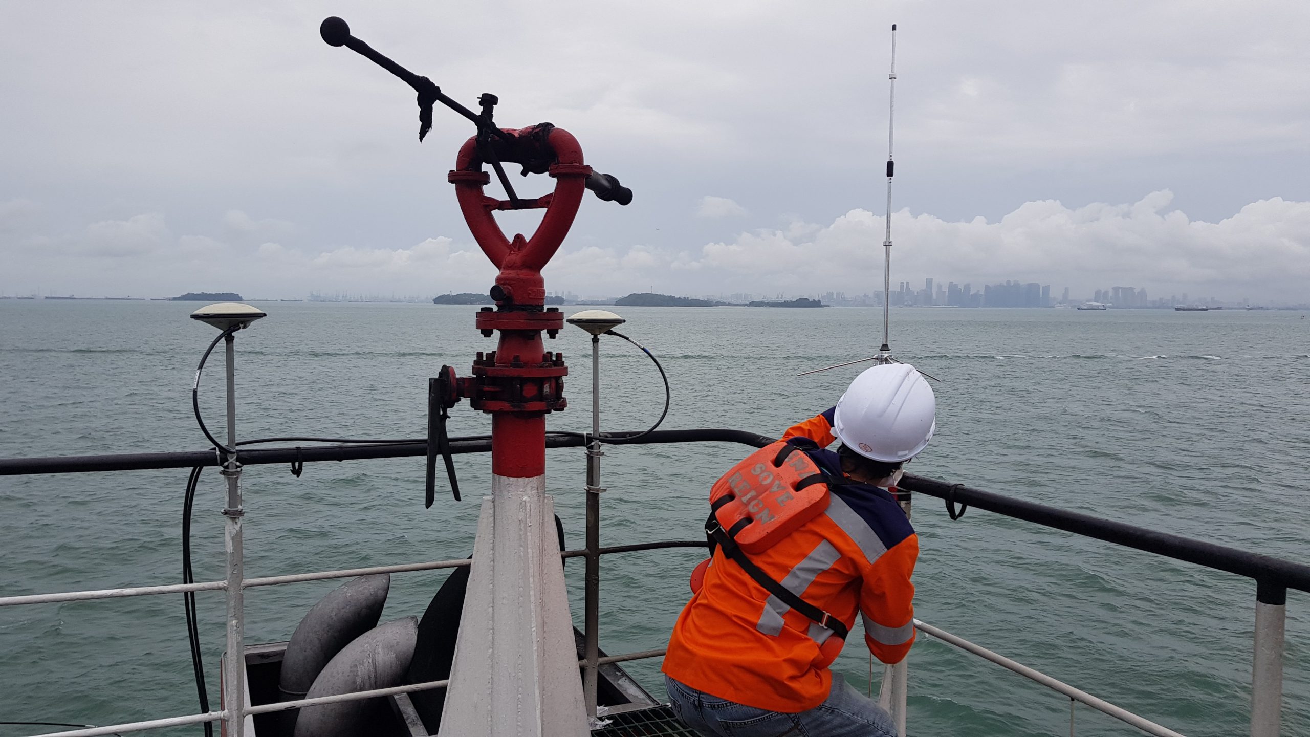
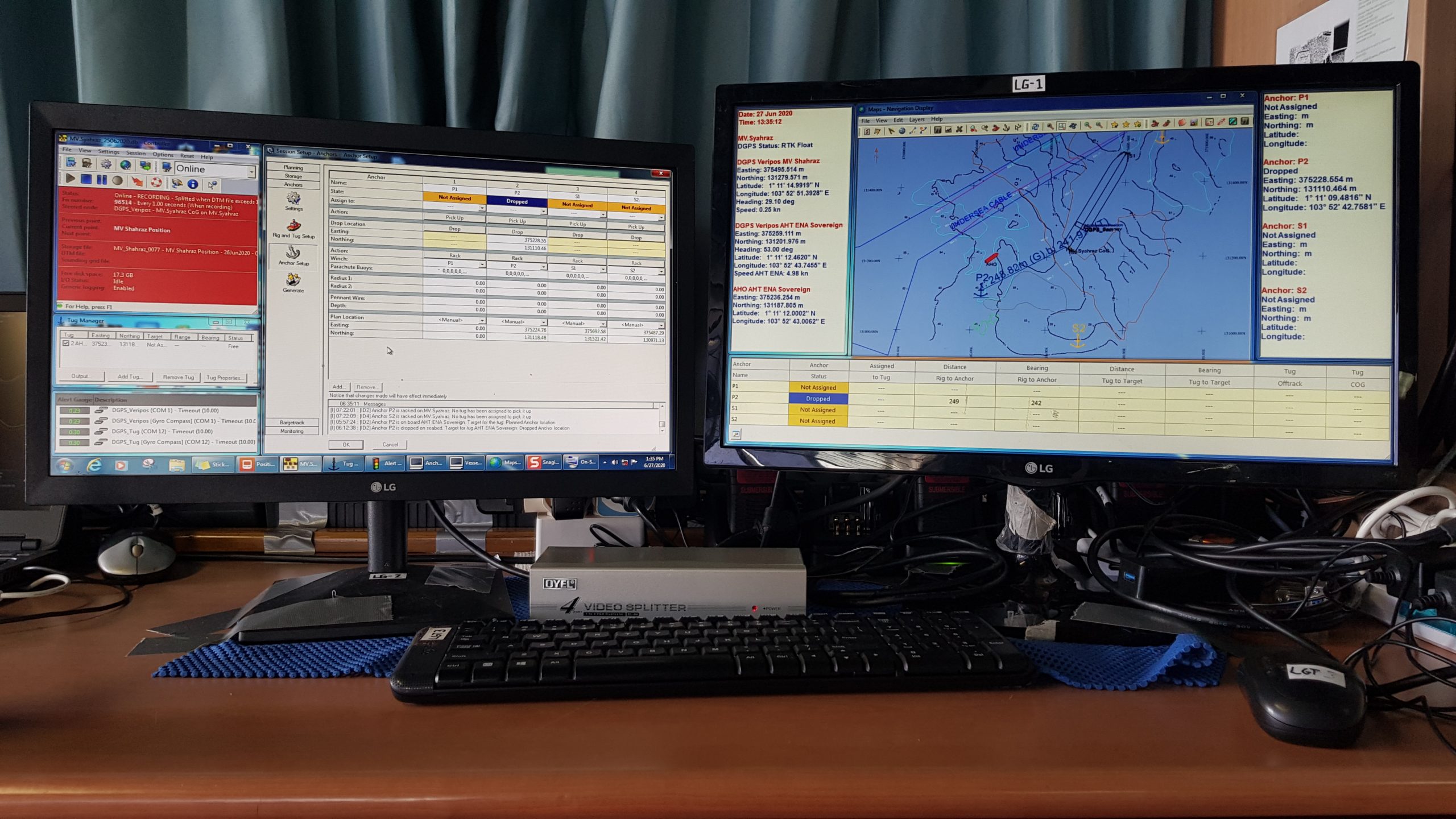
Our comprehensive Positioning Survey Services for the MV Shahraz salvage operation started with a meticulous evaluation of the vessel’s state and the surrounding environment. This involved an in-depth examination of the seabed conditions, tidal and weather conditions, and any potential hazards that might hinder the salvage operation.
It was a moment of relief for the rescue team when they finally received the survey results they had been waiting for. After several failed attempts, they could now devise a plan to evacuate the MV Shahraz safely. The stakes were high, and every member knew that time was of the essence. It was a race against nature, and they had no room for errors. However, with several supporting activities in place and their determination to rescue the stranded ship, they set out to execute their mission with precision. The atmosphere was tense as they worked tirelessly toward their goal, but their efforts finally paid off, and the MV Shahraz was safely evacuated. It was a defining moment for the rescue team, and we were glad to have been part of the successful operation.