PT Explora Prima | Survey Specialist

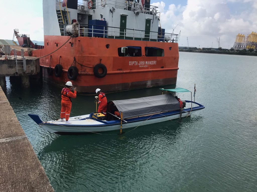
Seabed survey for jetty is important for several reasons. First, it helps identify any potential hazards in the seabed that could impact the jetty’s stability or damage the structure, such as rocks or debris.
It can also assist in identifying the best location to construct a jetty, based on factors such as water depth, soil type, and existing infrastructure. In addition, seabed surveys can help assess the environmental impact of the jetty’s construction on the surrounding marine ecosystem, and provide guidance on measures to mitigate any negative impacts.
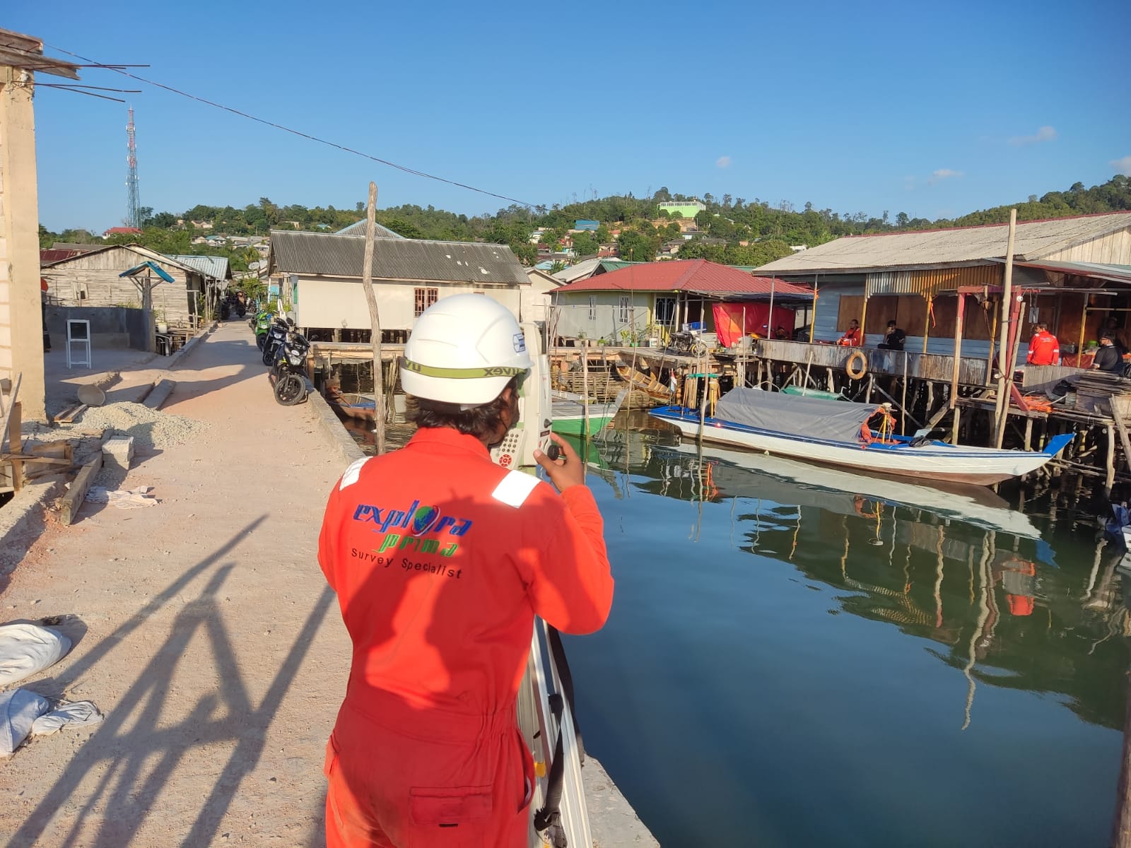
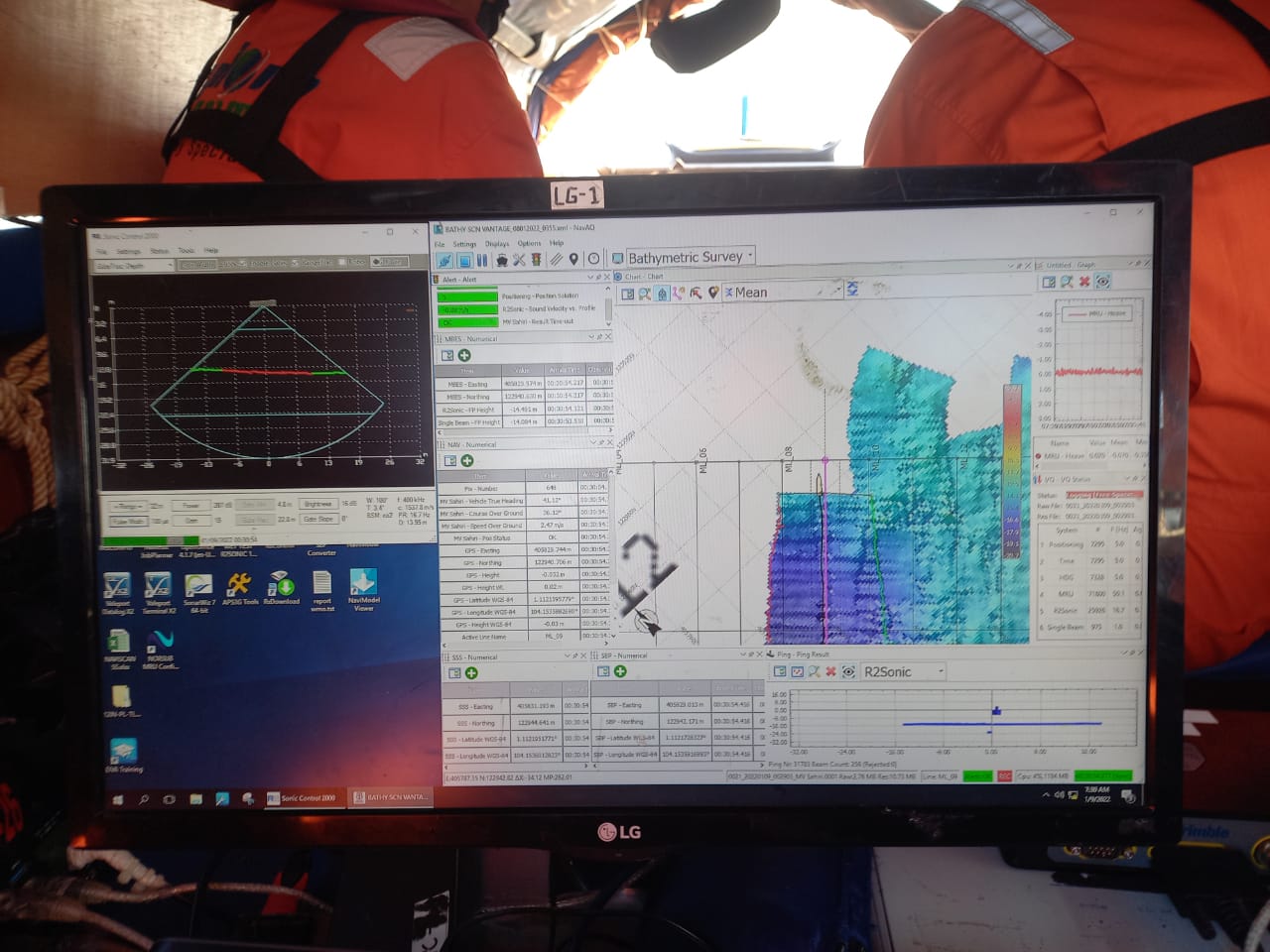
The survey data can also be used to monitor changes in the seabed over time, potentially identifying any issues that could affect the jetty’s long-term viability. What’s more, Jetty 6, under the management of Sarana Citranusa Port in Batam, serves as a crucial loading and unloading hub for large vessels.
With extensive knowledge and skills in underwater measurement, Explora Prima accomplished a meticulous survey in a remarkably short time of three days. Our team’s efficient equipment and software preparation enabled us to collect priceless data through a well-defined survey process.
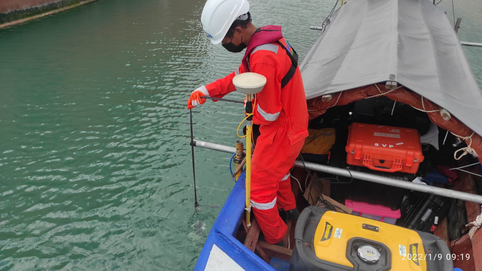
We have gathered comprehensive oceanic data around Jetty 6, including depth, seabed contour, underwater topography, sediment density, and geological/hydrological conditions. All of this information has been tailored to meet our client’s specific needs.
Overall, conducting a seabed survey for a jetty project is an essential step in ensuring the safe, successful, and environmentally responsible construction and operation of the structure.