PT Explora Prima | Survey Specialist


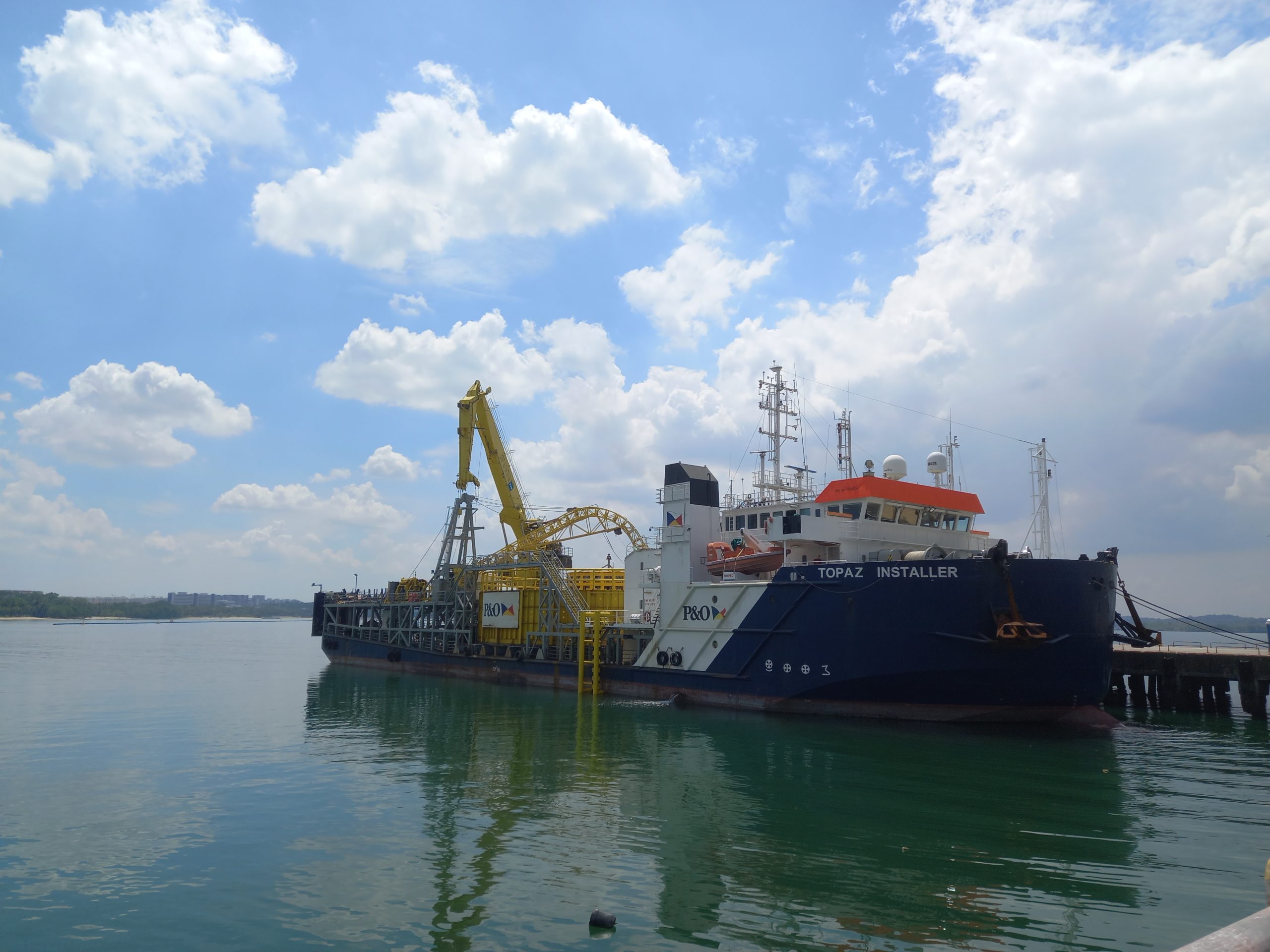
Explora Prima conducts another survey, this time on an impressive Cable-Laying Vessel (CLV) spanning 86 meters in length and 24 meters in width. The survey encompasses Offsets measurement, Global Navigation Satellite System (GNSS) verification, heading determination, and MRU calibration. Our rigorous methods and expertise deliver accurate results.
Offset measurement surveys in vessels are critical for accurately determining the spatial relationship of sensors onboard a hydrographic vessel. These surveys allow for precise calculation of vessel position, depth, and angular offsets.
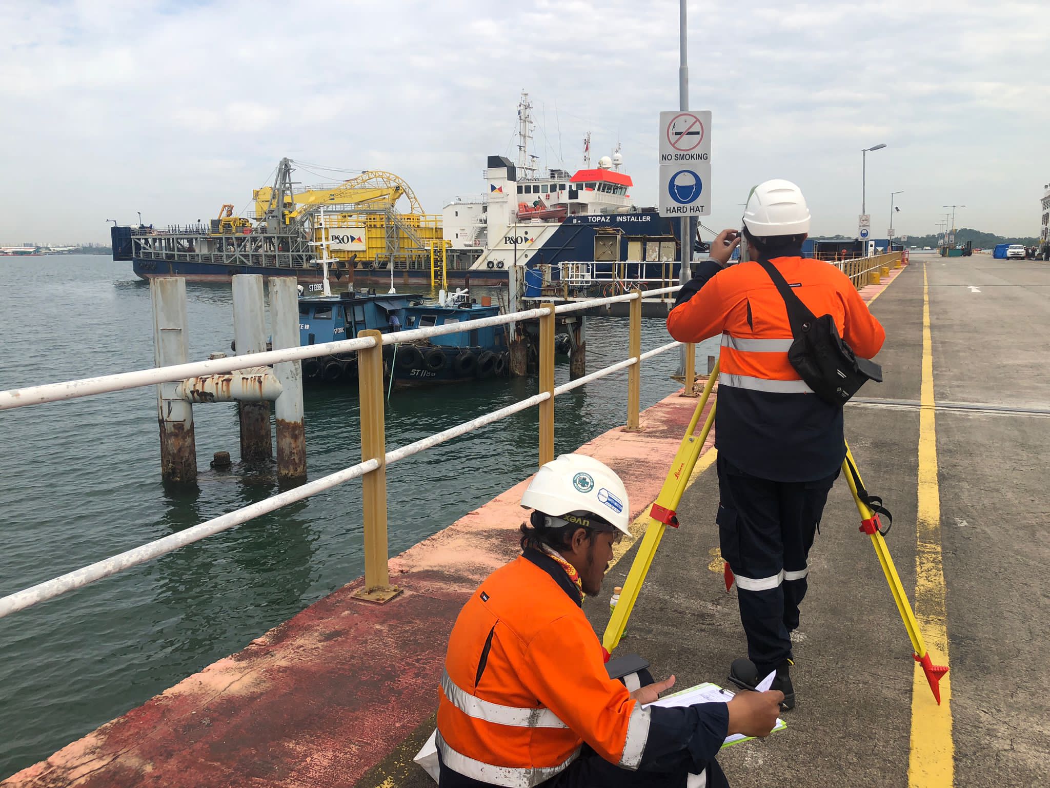
The measurements are taken using specialized equipment, such as a laser scanner, and are typically conducted during dry-docking or while the vessel is at a berth. The offset measurement survey is an important aspect of vessel maintenance and safety and can help identify any potential structural issues or concerns before they become more serious problems.
Every day at Loyang Offshore Supply Base, Singapore brought fresh challenges, and it seemed almost miraculous that the entire job only required 3 days. The Explora Prima team was determined to do the best they could during this period of time.
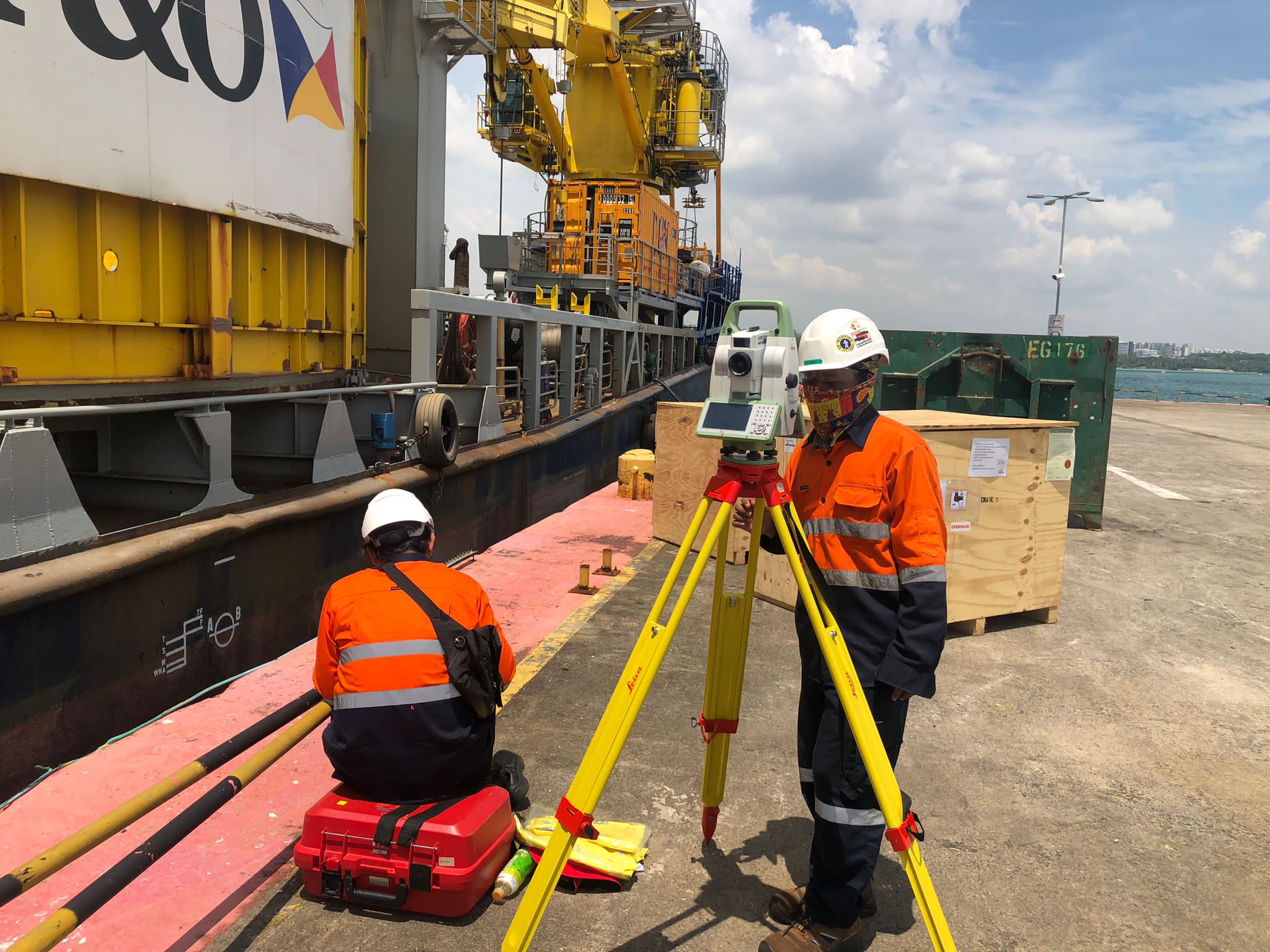
By proactively considering the potential risks and remaining ready at all times, they were able to overcome these obstacles with ease. Not even a single issue persistently reared its head due to their professionalism and dedication, making the entire operation run smoothly. Their expertise certainly did not go unnoticed by our company as well as countless others in the industry.