
PT Explora Prima | Survey Specialist

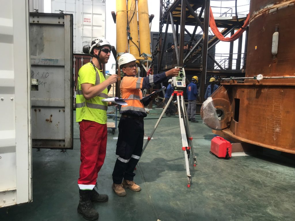
Dimensional Control Offsets on Apollo Vessel

Project detail

In order to achieve staggering accuracy in the marine industry, dimensional control offsets are key. That's why the Apollo Vessel turned to Explora Prima for help

For any project to succeed, accuracy and precision are key. Especially in the marine industry, where dimensional control offsets can make or break a project, it’s important to have a surveyor that you can trust. That’s why the Dimensional Control Offsets of the Apollo Vessel were entrusted to Explora Prima, one-stop solution Surveyor Company.
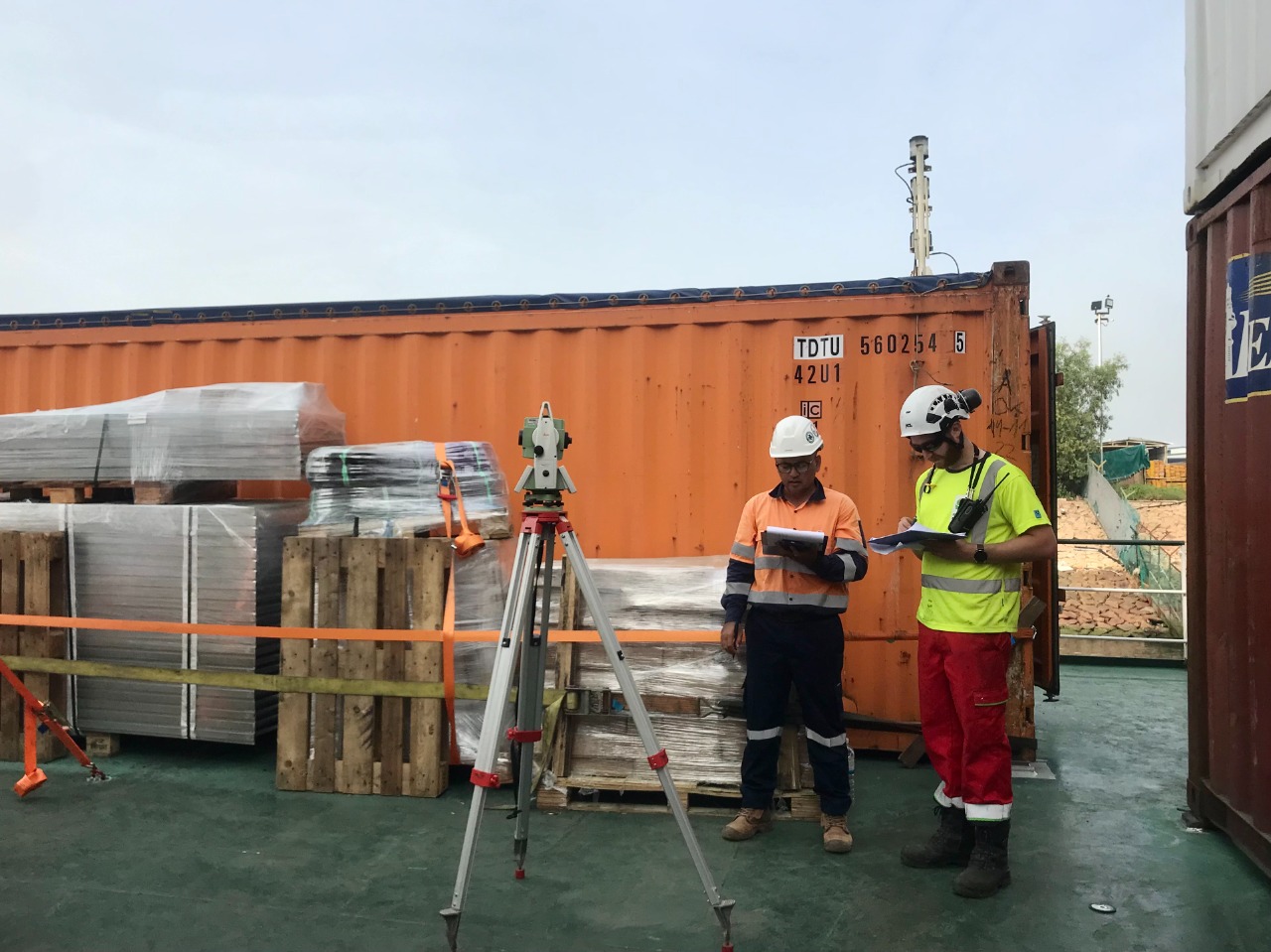
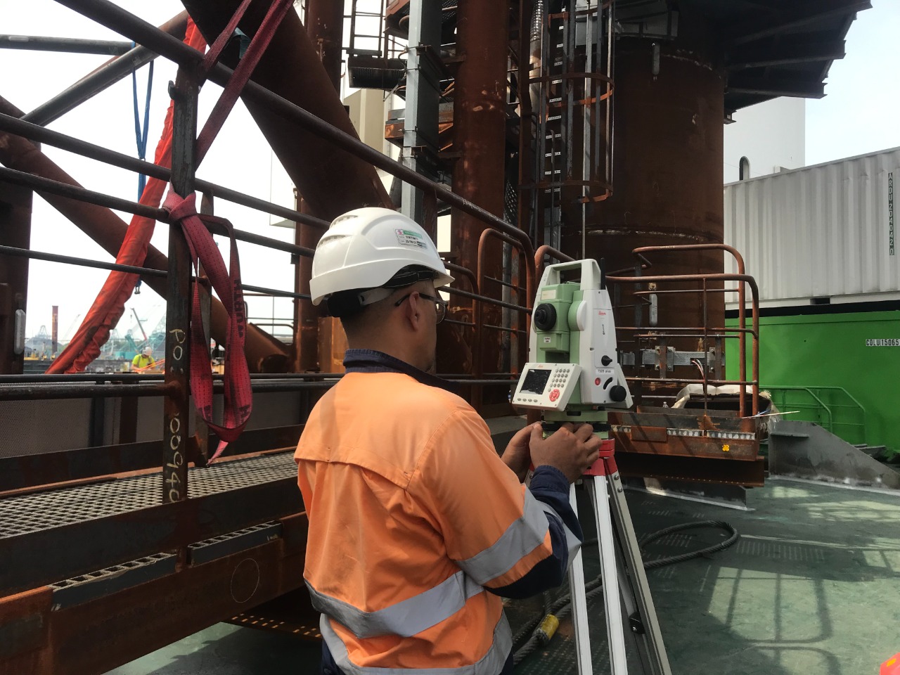
Dimensional control offsets are values used to adjust the position or size of a feature or part in a manufacturing or engineering process. They represent the difference between the desired or nominal dimensions of a feature and the actual dimensions that are measured during or after the manufacturing process.

The dimensional control offsets can be positive or negative and can be used to compensate for various factors that affect the accuracy of the manufacturing process, such as tool wear, material shrinkage, thermal expansion, or machine inaccuracies. By applying the appropriate offsets, the resulting parts or assemblies can be brought into compliance with the required specifications.
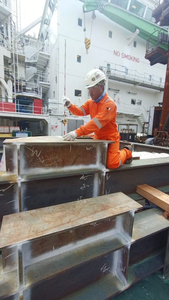
As was the case with dimension control offsets work carried out by Explora Prima on the Apollo vessel, where later a Pre Piling leg frame will be installed. Accurate and precise actual data is needed to support the engineering process.

The sunny weather in Singapore speeds up the process, which takes only 48 hours. Of course, the work can be completed on time, without any incidents and satisfactory results.

Details:

Location:

Singapore

Category:

Dimensional Control

Client:

DEME Grup

Date:

15/01/2023

get started

Ready To Start Your Survey Project?

faqs

Frequently Asked Questions

We regularly partner with clients across multiple demanding sectors, providing specialized survey support for Oil & Gas, Maritime and Hydrographic operations, Shipyards, Mining sites, Civil Infrastructure, and Plantations.

To ensure high precision and reliable deliverables, we utilize industry-standard instruments such as High-Definition 3D Laser Scanners, Hydrographic Echosounders, and UAV LiDAR systems, combined with advanced data processing software like Leica Infinity.

Timelines vary depending on the site location, area scale, and specific scope of work. While routine land or hydrographic surveys can be completed in a matter of days, more complex or large-scale projects require a structured timeline that we outline prior to mobilization.

We provide comprehensive, client-ready digital deliverables customized to your engineering and operational needs—ranging from 2D CAD layouts and 3D point cloud models to bathymetric charts and detailed technical reports.

Yes, we are. Backed by certified survey personnel, robust field equipment, and our certified ISO 9001:2015 quality management systems, we are fully prepared to execute both large-scale onshore and offshore assignments.

Getting started is easy. You can fill out our website inquiry form, email us directly, or reach our office team by phone so we can discuss your project requirements and provide a proper consultation.