PT Explora Prima | Survey Specialist


Using UAV for mining surveys is a game-changer. It provides professionals with specific aerial data of mines, improving productivity, planning, safety, and inventory management. With advanced UAVs equipped with RGB cameras, precise photographs of a site can be quickly captured from multiple angles. This data is then analyzed using sophisticated photogrammetry software to create detailed Geo-tagged 3D Maps, Contour Lines, Digital Terrain Models (DTMs), and Digital Surface Models (DSMs), enabling in-depth analysis by mine operators.
PT Pasifik Masao Mineral has commissioned expertise from Explora Prima to carry out a detailed survey of their mine site. The terrain poses many challenges, however, as conventional methods would be inadequate and inaccurate in this case. As a result, Explora Prima offers an optimal solution through the use of Unmanned Aerial Vehicles (UAVs).

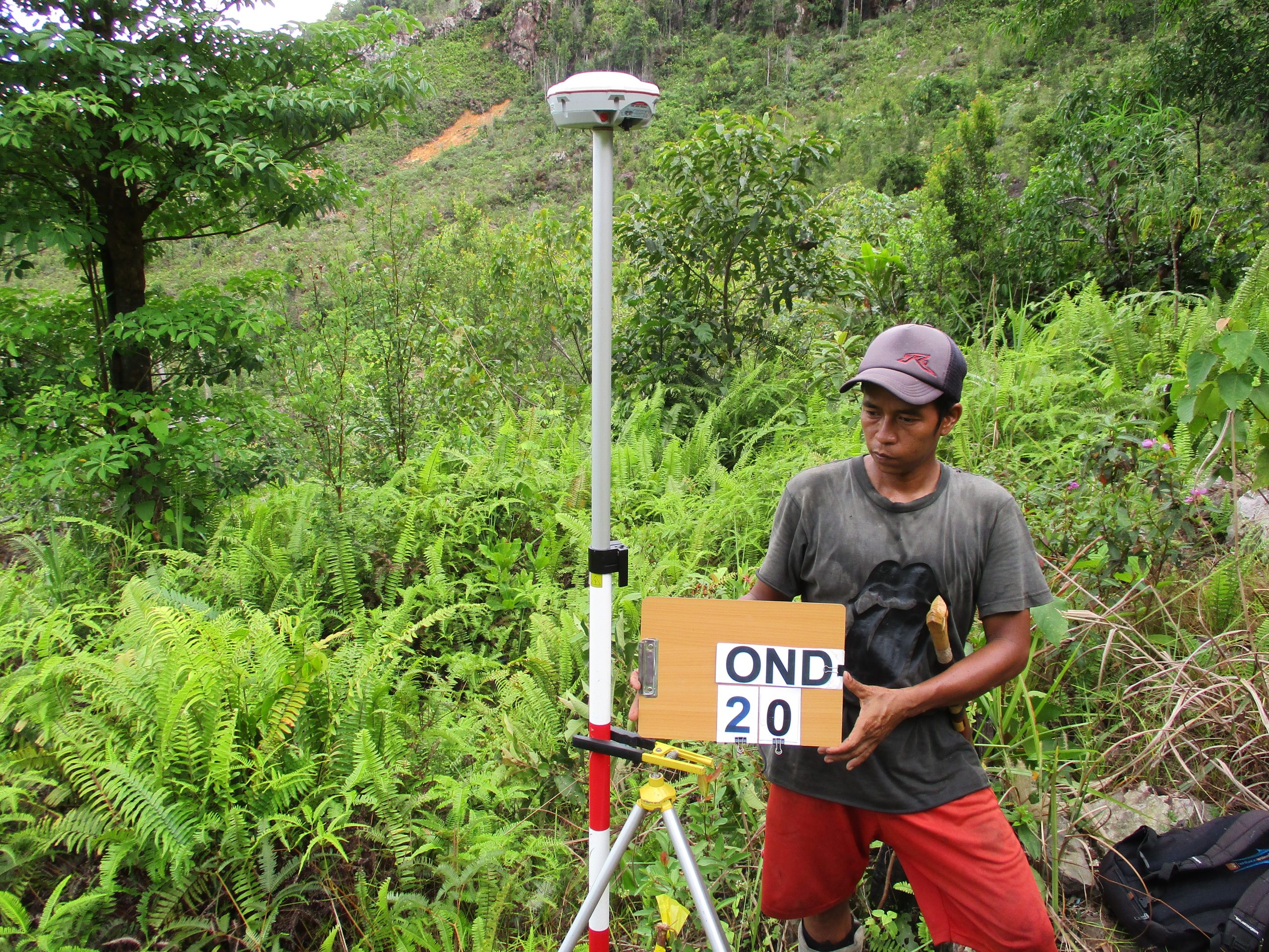
Accurate data obtained from UAV surveys can guide and strengthen one’s strategic strategy for mining development. Therefore, invoking Explora Prima with the introduction of this technology will yield beneficial results for those mining companies looking to increase their operations with greater accuracy.
After conducting an extensive field survey, we produced a comprehensive report to meet the client’s needs. This expansive report thoroughly details the survey activities, area surveys, equipment, control points and other pertinent details related to the numerous projects conducted. Presenting these data for optimum clarity and insights was our top objective. As part of this program, multiple documents with detailed agenda were completed that covered all sections of each project on schedule. This report then was extra proofread as an added step to ensure complete accuracy. The easily understood nature of the final report enables clients to generate optimum efficiency while safeguarding against misconceptions or mistakes.